Secondary Geography Community Weather Memories Ask members of your family and community about weather events they remember
Primary Weather Journey This is a “Weather” game for use with an upper KS1 class, looking at seasonal and daily weather patterns.
Primary Climate Change Resources Literacy and climate zones schemes of work developed by the Climate Change Schools Project
Secondary Geography 20. Tropical Cyclones In this lesson we explore the structure, location and names for Tropical Cyclones as well as some of their potential impacts.
Secondary Geography 19. Urban Climates In this lesson we look at how urban areas have an impact on temperature, wind, air quality and precipitation.
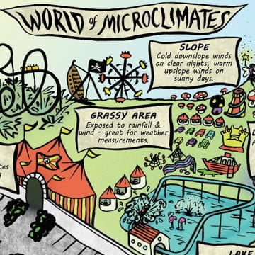
Secondary Geography 18. Microclimates In this lesson we investigate the factors which can help create a microclimate and introduce fieldwork opportunities within the school grounds.
Secondary Geography 17. Depressions In this lesson we look at the causes of Low pressure systems and the weather they bring to the UK.
Secondary Geography 16. Anticyclones In this lesson we look at the weather associated with anticyclones in summer and winter and its potential impacts.
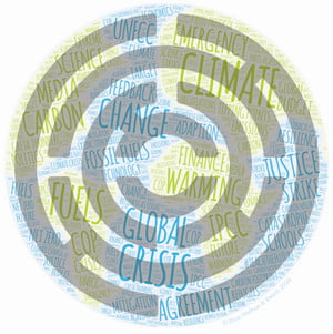
Secondary Geography 15. Climate Crisis In this lesson we explore the language used to talk about climate change and look in detail at sea level rise, tipping points and
Secondary Geography 14. Changing UK Climate In this lesson we use the Central England Temperature record to explore changing UK weather and look at the projected impacts of climate change
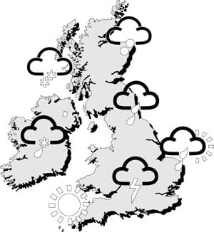
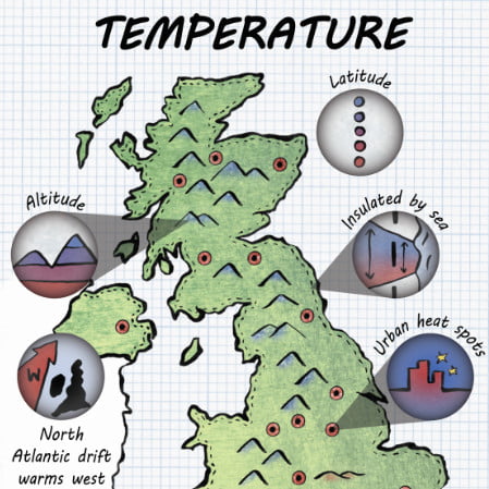
Secondary Geography 13. UK Climate In this lesson we revisit climate zones before exploring regional climate differences across the UK and the reasons for them.
Secondary Geography 12. Changing Global Climate In this lesson we look at this historical relationship between carbon dioxide and global temperature and the Greenhouse Effect
Secondary Geography, Secondary Maths, Secondary Science Data Analysis Activities Using Weather and Climate Data
Secondary Geography 11. Hot Deserts In this lesson we look at the characteristics and locations of hot deserts and the adaptations of animals and vegetation found there.
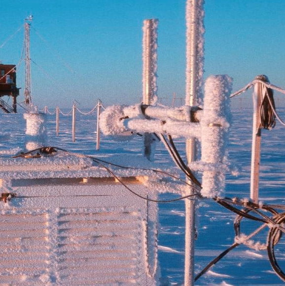
Secondary Geography 10. Polar Climate In this lesson we investigate why polar climates are so extreme and how it can be too cold to snow in Antarctica.
Secondary Geography 3D Print the Weather The RMetS is delighted to have collaborated with CREATE Education to develop instructions to allow schools to 3D print sections of the Central England
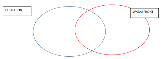
Secondary Geography Cold and Warm Fronts Activities Four activities to assess understanding of cold and warm fronts
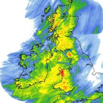
Secondary Geography Depressions – Identifying Features Worksheet to link words an images to features on a weather (synoptic) chart
Secondary Geography Pop-up Depression Print, cut-out and fold along the lines to make a 3D model of a depression.
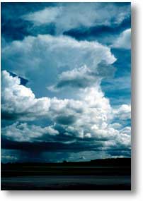
Secondary Geography 9. Water in the Atmosphere In this lesson, we focus on cloud formation due to convection, orography (relief) and frontal uplift.